News
1 July 2026
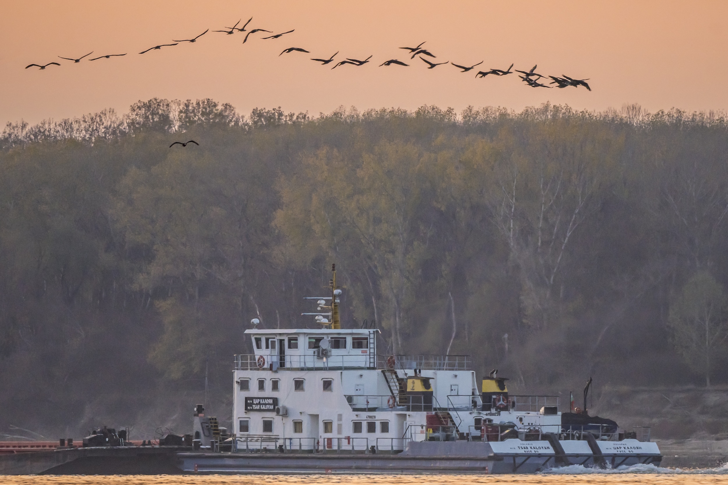
Field stations were reaffirmed as essential for long-term observation, open data, user access, skilled technical staff, and collaboration across national and European research infrastructures
29 June 2026
Under the title “Long-Term Ecosystem Research: Contributions, Challenges and Future Perspectives”, the conference will mark 20 years of LTER Bulgaria as part of eLTER. Abstracts are submitted through the ARPHA platform by 3 August.
21 June 2026
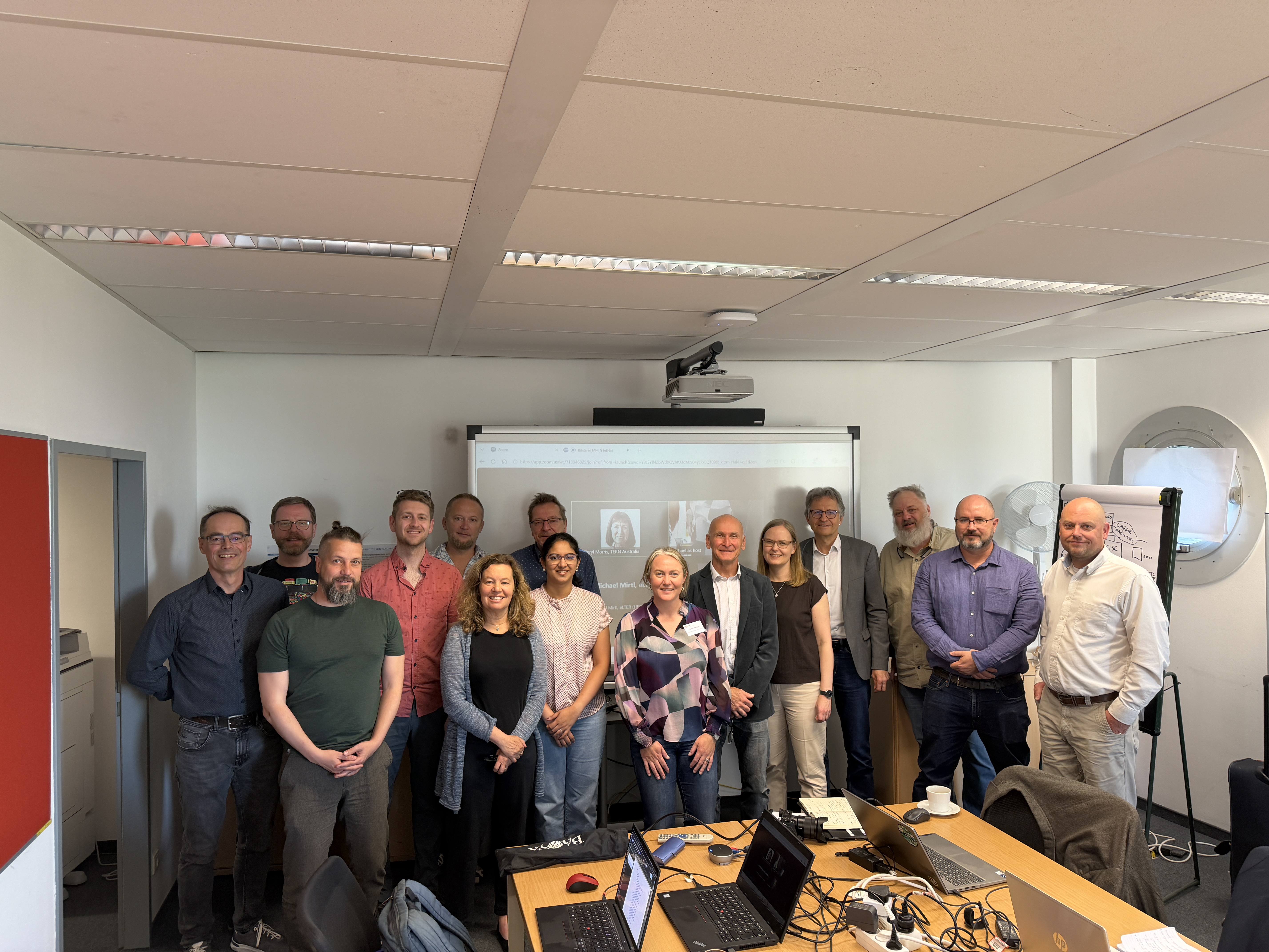
Hybrid workshop held back-to-back with EGU 2026 marks an important milestone in eLTER EnRich’s international collaboration activities

17 June 2026
Publications, datasets, software releases and researcher affiliations can now be connected with eLTER through a persistent organisational identifier, improving discoverability, attribution and long-term visibility across scholarly information systems
8 June 2026
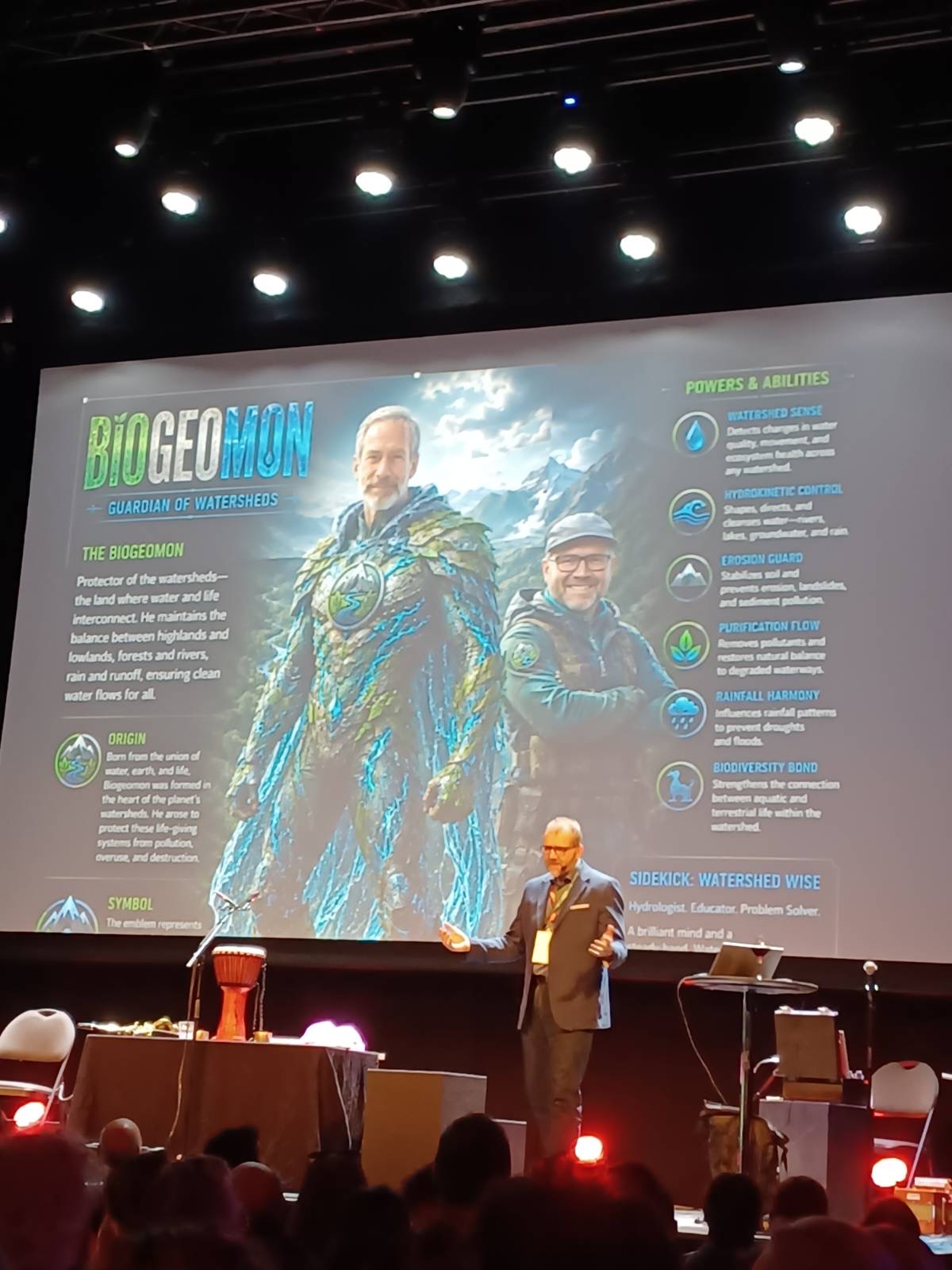
Thomas Dirnböck presented the eLTER Framework of Standard Observations and demonstrated examples from two eLTER sites (in Finland and Austria), how novel measurements can be used for the calibration and validation of drought impact monitoring in forests
25 May 2026
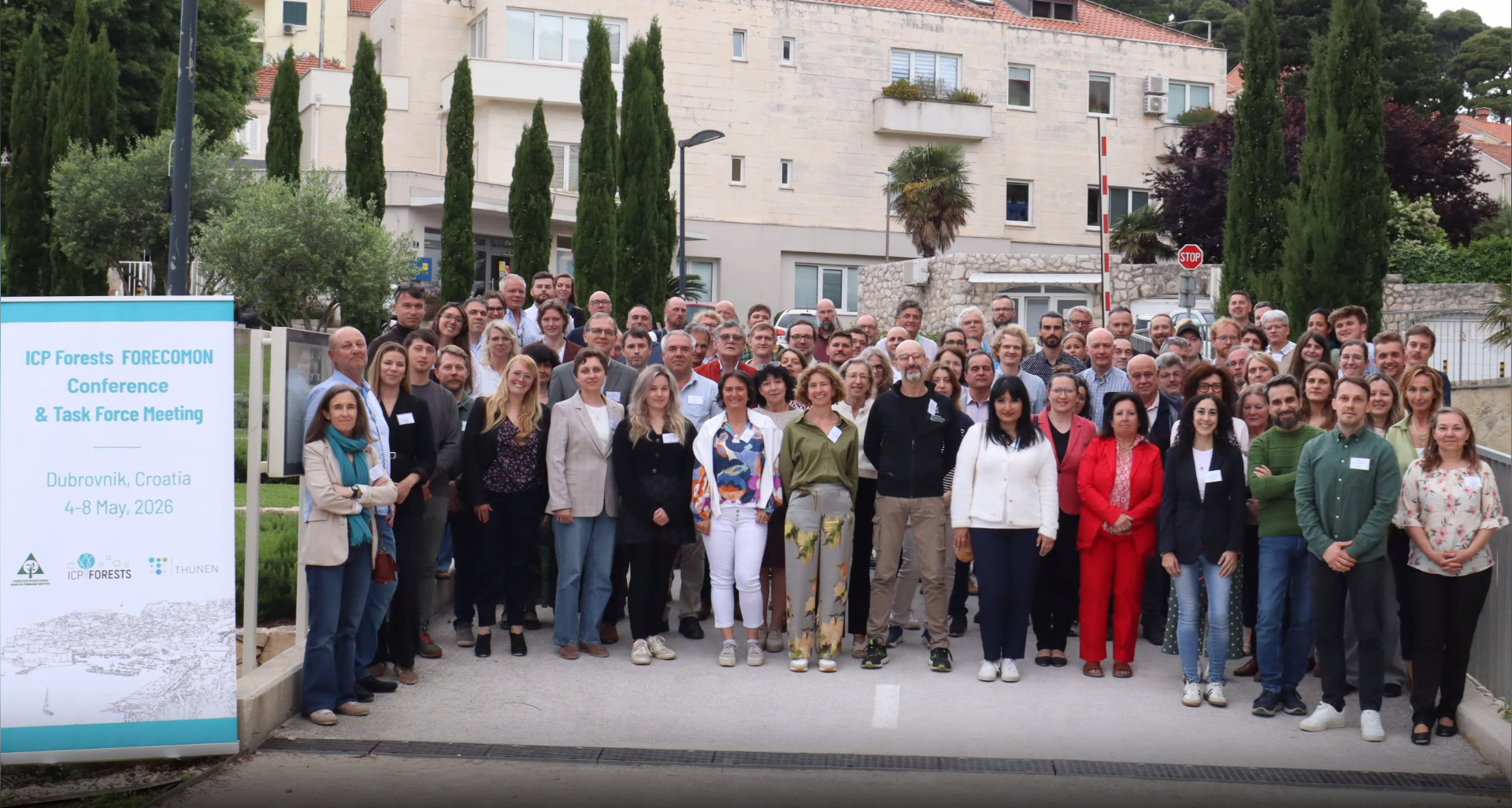
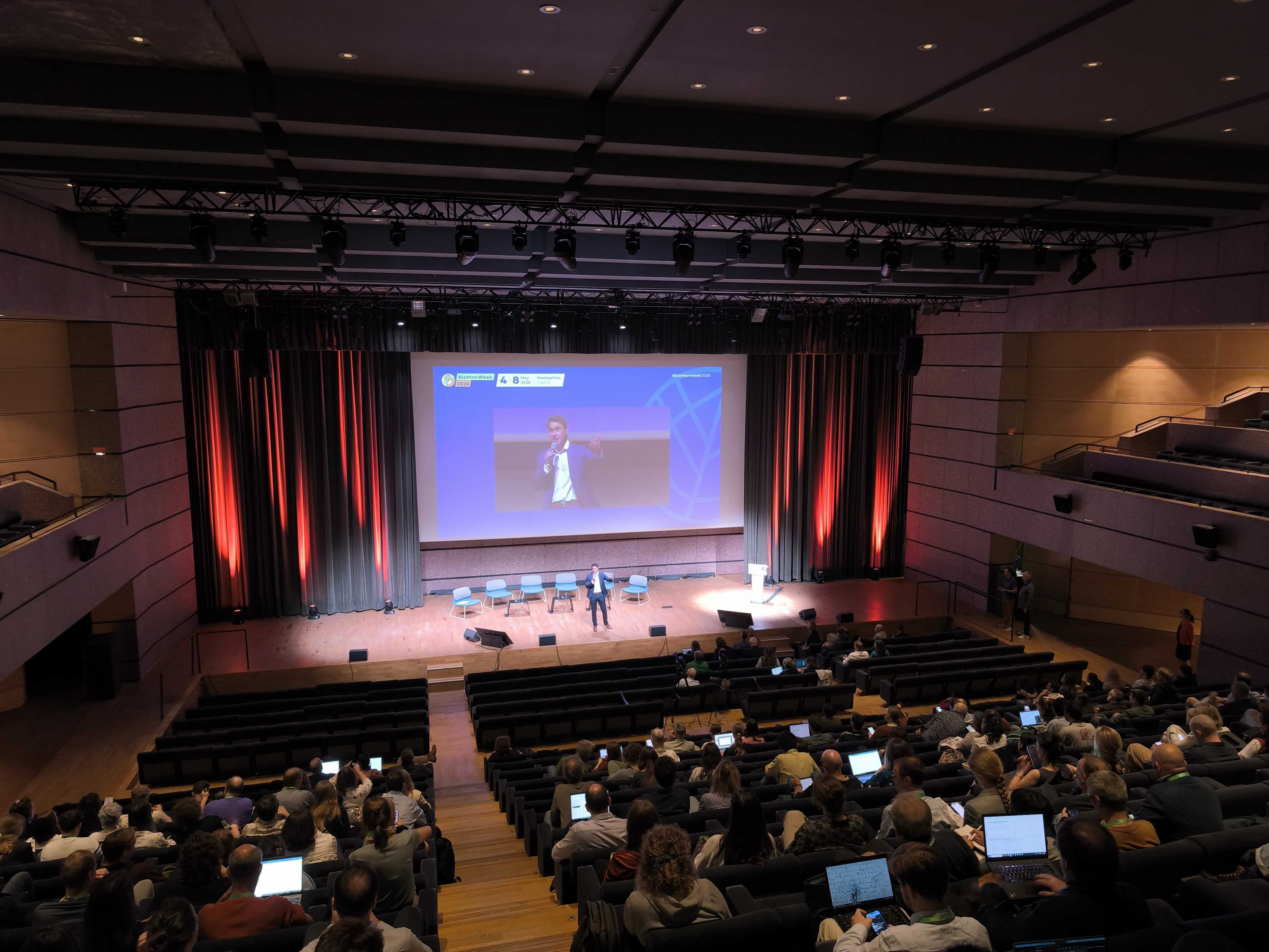
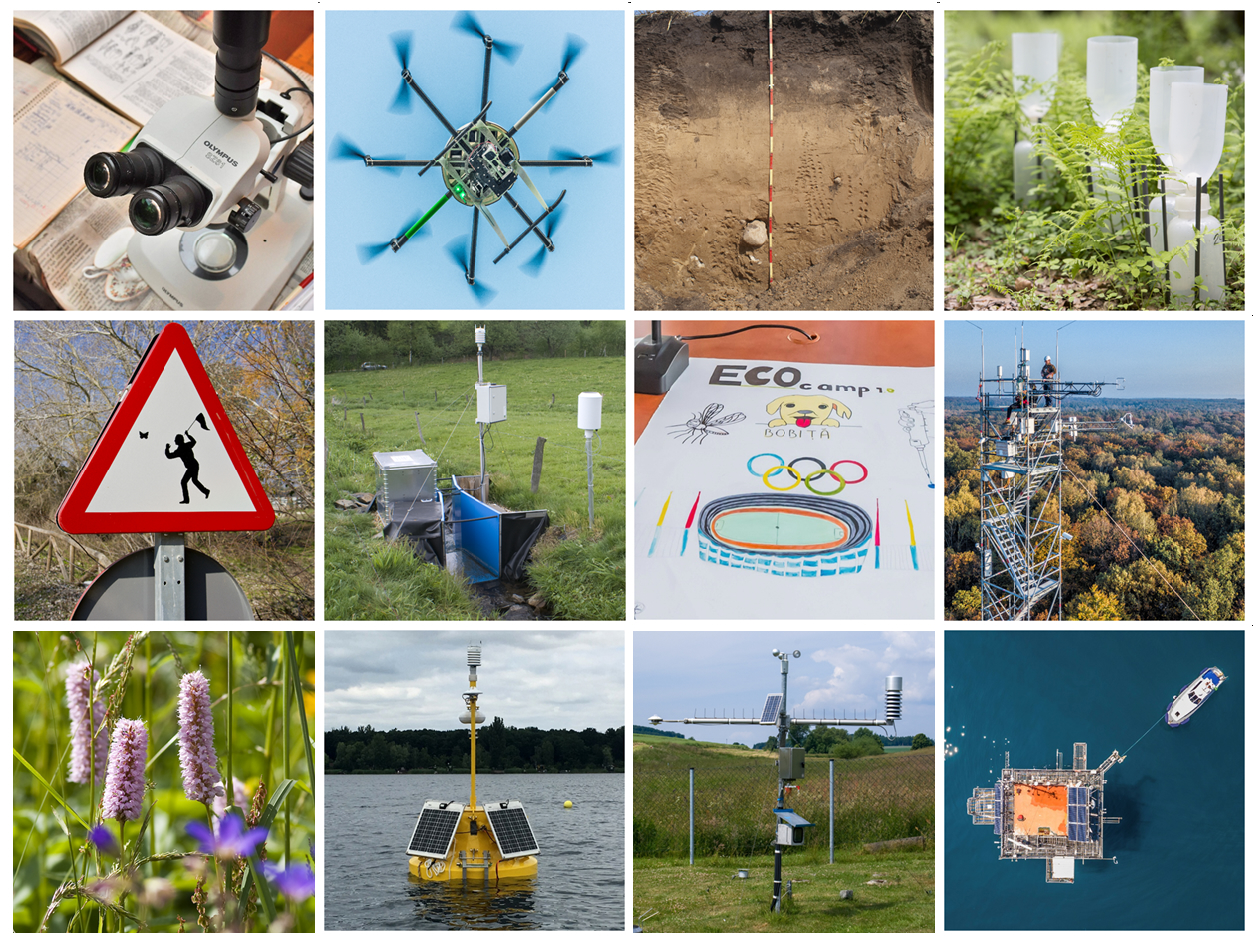
"The event had representatives of marine, freshwater and terrestrial biodiversity experts. The conference showcased a remarkable diversity of monitoring approaches and technologies." - Allan T. Souza reports
20 April 2026
"This framework strengthens collaboration and helps ensure that the data collected today will remain valuable for future research.” - said Dr. Steffen Zacharias, researcher at UFZ and a leading contributor to the eLTER infrastructure
17 April 2026
The study from Cairngorms LTER site highlights distinct snowbed vegetation and moisture regimes shaping arthropod traits, underscoring the need for long‑term, trait‑based monitoring
7 April 2026
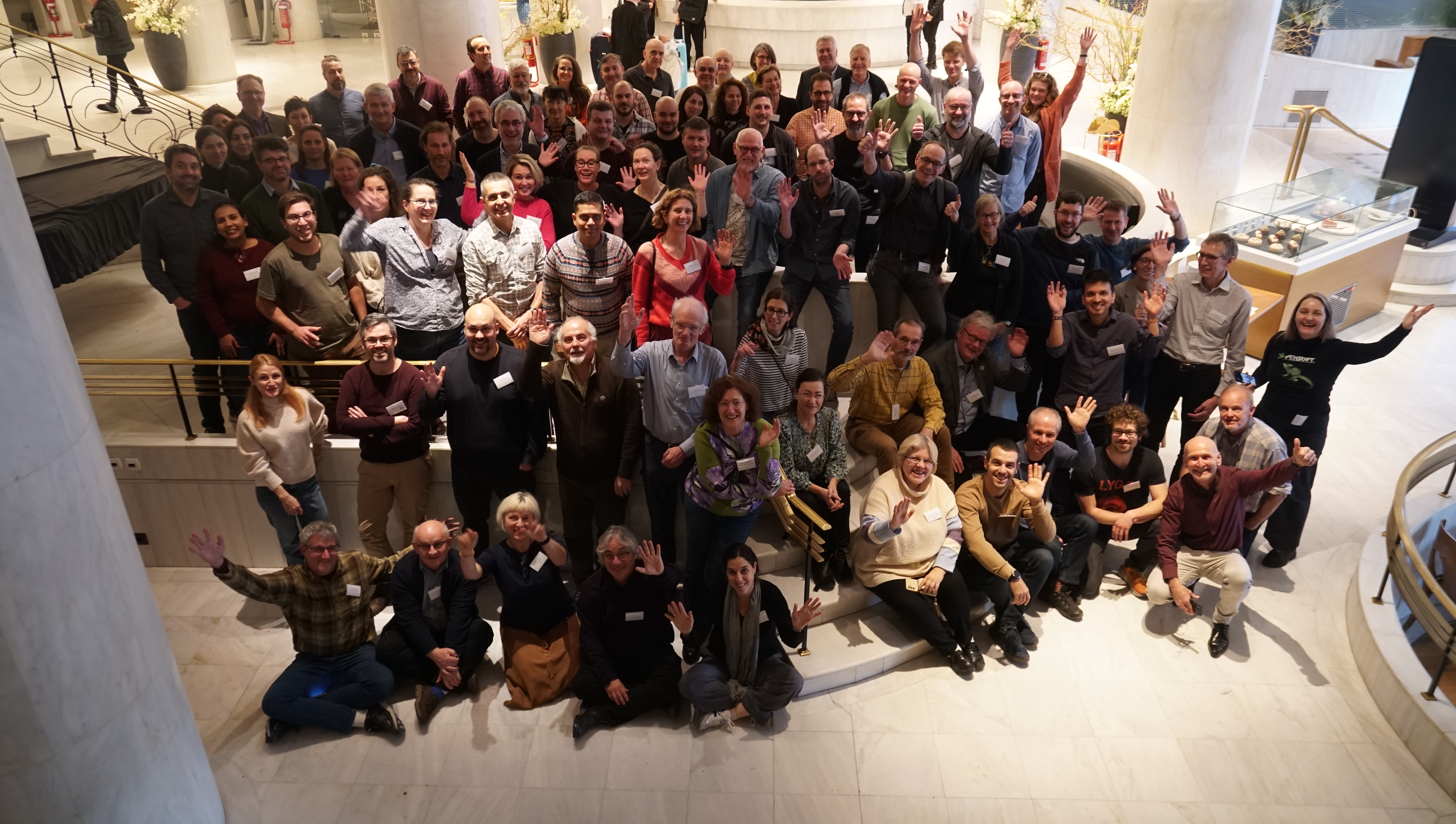
Beyond its scale, the event reflected the maturity of a community that has evolved from a network of projects into an emerging, coordinated Research Infrastructure
25 March 2026
The training concludes with synthesis, reflection and planning for implementation, culminating in the creation of draft engagement and risk assessment plans tailored to participants’ projects. eLTER researchers among the principal trainers.