The 1st eLTER Science Conference in Tampere, 23-27 June 2025 (Tampere Talo congress centre) consists of a wide range of scientific sessions, workshops, and networking opportunities. You may browse the programme using the tool below, and it is also accessible through a personal link to Eventos mobile app (sent to the registered participants in early June). With the app, you can customise your daily schedule, bookmark sessions of interest, and receive real-time updates.
The eLTER Science Conference Proceedings with all abstracts is available here.
Registration desk is open on Monday 23 June from 18:30 to 20:00, and all the other days from 8:30 to 17:00.
The oral presentations will run parallel in the Small Auditorium and Duetto 1 and 2, and the workshops will be located in Riffi and Opus 3. Winter Garden will display the unique photo exhibition eLTER InSites throughout the week and an artistic performance Kin-spheres on Tuesday and Wednesday (13:30 - 15:00). Vendors’ exhibition is located at Duettos Foyer throughout the week. All locations and the Tampere Talo congress centre map can be found here and a printable version of the program can be downloaded here.
Posters will be displayed in the Park Foyer throughout the day on both Tuesday and Wednesday. Dedicated Poster Sessions will take place on Tuesday from 17:15 to 18:30 and on Wednesday from 16:00 to 17:30. The list and order of posters for both days can be found here.
The organisers wish you warmly welcome, and hope you enjoy the Conference!
Excursions will run throughout the day (departures starting from 08:00, return to Tampere after 17:00). You can find details about each excursion here.
We also welcome you to Meet & Greet Reception at Tampere Talo, from 19:30 to 21:00. Join us for informal networking and a relaxed start to the week (entrance upon registration).
Timetable
Тhe eLTER Science Conference 2025 is supported by:
The project has been financially supported by the Foresters' Foundation. Donations and foundation mergers are an important part of the Foundation's impact on public benefit activities.
More information www.mmsaatio.fi
Hanketta on rahoittanut Metsämiesten Säätiö. Lahjoitukset ja säätiöfuusiot ovat tärkeä osa Säätiön yleishyödyllisen toiminnan vaikuttavuutta.
Lisätietoa www.mmsaatio.fi
The project has been financially supported by the Federation of Finnish Learned Societies.
More information: https://www.tsv.fi/en
Hanketta on rahoittanut Tieteellisten seurain valtuuskunta. Lisätietoa: https://www.tsv.fi
Read the interview with eLTER Science Conference organising committee co-chair Prof. Jaana Bäck: The eLTER community is a Key Actor in Environmental Science
Follow eLTER on Bluesky and LinkedIn for updates for #eLTER2025SC!
Subscribe to the eLTER newsletter!
Sessions
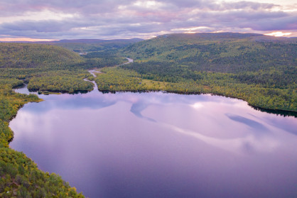
Integrated observations in the atmosphere-biosphere continuum 
- Keywords: global observations, climate change, integrated data
- Conveners: Jaana Bäck, Tuukka Petäjä, and Steffen Noe
Interactions between Earth’s surface and the atmosphere influence climate, air quality and water cycles. Changes in one affect the others. Our actions — such as emission-control policies, urbanisation and forestry — also affect the atmosphere, land and seas. A global observatory has been discussed for more than a decade, but is only now becoming feasible. Instruments have matured; for example, today’s mass spectrometers can measure thousands of atmospheric chemicals at once. Regional initiatives to combine and broaden space- and ground-based monitoring are established well enough to roll out similar stations globally. Incomplete coverage from ground stations is the main limit to observations of Earth’s conditions. Satellites can continuously monitor some compounds, such as CO2, ozone and aerosols, almost planet-wide. But they cannot resolve processes or fluxes, or trace the hundreds of othercompounds of interest. Satellite data must be ‘ground-truthed’ and models need data to validate them. Current networks of ground stations have been set up without considering the big picture, and the end result is that each discipline or team designs and builds stations to suit its purpose. Greenhouse gases, atmospheric chemicals and ecosystems are monitored at different sites. Furthermore, many funding agencies focus on national interests. A global observatory would allow cost-efficient tools to understand how the Earth system works. The session welcomes contributions on integration potential between disciplines and scales, the added value for collaboration and innovative solutions for promoting co-design of observations.
Cover image: #eLTERinSites Kevo Subarctic Research Institute (Kevo LTER) - Finland
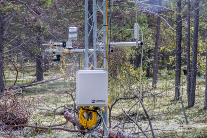
Greenhouse gases and carbon, water, and nitrogen cycles 
- Keywords: climate feedbacks, greenhouse gas fluxes, ICOS
- Conveners: Timo Vesala and Xuefei Li
eLTER is in close collaboration with ICOS infrastructure, which is based on flux and concentration observations of greenhouse gases in air and water. ICOS also covers a multitude of ecophysiologcial and biological variables from vegetation and soil. This session encourages the scientific dialogue between eLTER and ICOS. It is looking especially for contributions where flux and atmospheric concentration data are utilised for better understanding of the functioning of forests, wetlands, arable lands, grasslands, urban environments and freshwaters and their climate feedbacks, and also of biodiversity, social ecology and decision making.
Cover image: #eLTERinSites Kevo Subarctic Research Institute (Kevo LTER) - Finland
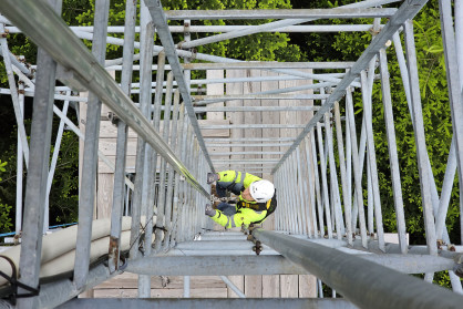
Integrating long-term ecological research and adaptive management 
- Keywords: monitoring, management, stakeholders, natural resources, long-term data
- Conveners: Dorothee Ehrich and Eeva Soininen
In this session we are interested in discussing different ways for long-term ecological research programs to interact with management of ecosystem components, collaborate with management bodies and integrate aspects of adaptive management. This can be done for instance by carrying out experimental management interventions, or by predicting the effect of management options in a framework of structured decision making. The case of the climate ecological observatory for arctic tundra (COAT) in the Norwegian Arctic shows how a food-web approach to designing a monitoring program allows to integrate management interventions in the conceptual models guiding the long-term research. Indeed, humans often affect ecosystems by their impacts on food webs. Collaborations with management agencies and other stakeholders can be developed according to formalised protocols, and they become often particularly useful and productive when researchers and managers are working together over time, developing a common understanding and mutual trust. Here we are interested in discussing the relevance of collaboration with management for long-term ecological research, as well as different approaches that are or could be used, as well as examples of such collaborations.
Cover image: #eLTERinSites Lehrforst Rosalia - Austria
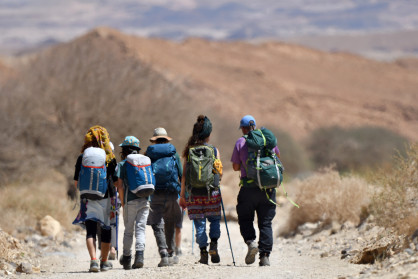
Studying the sustainability of globally embedded socio-ecological systems 
- Keywords: globalisation, multiscale, conflict, social ecology, system modelling
- Conveners: Veronika Gaube and Olivier Ragueneau
Sustainability challenges in socio-ecological systems (SES) are inherently multiscale phenomena, as changes at the global level can result from socio-ecological processes operating at different spatial and temporal scales. In the last decade, increasing geopolitical tensions and (sometimes violent) conflicts suggest that the world may be moving towards multipolar, ‘divided world’ scenarios. In any case, any local SES is embedded in these global trajectories, pushing them while simultaneously being pushed by events and tendencies at other scales. Analysis and models of SES therefore need to incorporate multiple scales, which requires robust methods for transferring information between scales. Due to the increasing global connectivity of SES, upscaling – that is, increasing the extent or decreasing the resolution of a study – is becoming ever more important. While relationships between scales have received much attention in ecology, hydrology and climate science, less attention has been given to this challenge in analysing and modelling of SES, which therefore emerges as a pressing challenge. In this session, we will explore how eLTER can advance the analysis of upscaling phenomena in socio-ecological systems. Questions discussed in this session will focus on the requirements for integrating place-based research in LTSER Platforms and national to continental approaches in social ecology.
Cover image: #eLTERinSites Park Shaked (PSK), LTSER Northern Negev - Israel
Monitoring and modelling land changes in LTSER platforms: eLTER perspectives and challenges 
- Keywords: land use science, environmental history, participative scenarios, LTSER platforms, models, scenarios, LUCC
- Conveners: Thomas Houet, Simone Gingrich, Veronika Gaube, and Martin Schmid
Land use and land cover changes (LUCC) are one of the most commonly used variables used to monitor trajectories of socio-ecological systems (SES). While past LUCC trajectories enable us to understand the respective / combined impact of anthropogenic and climate factors, modelling future LUCC allows us to evaluate the effect of land policies, environmental regulations or any other drivers affecting LUCC. Tracing how people in LTSER platform regions have used the land in the past and present, what has shaped their land-use decisions, and how these different land uses and LUCC have impacted ecosystem characteristics and might impact them in the future will illustrate how LUCC is a critical eLTER variable. By bringing together different methodological and empirical approaches (including, e.g., environmental history research based on archival sources, modelling tools and integrated socio-ecological participatory research), the session will explore, based on applied and methodological contributions, the potentials and challenges of inter- and transdisciplinary land-use research in LTSER platforms, and its contributions to the eLTER WAILS approach and community. Thus, this session aims at contributing to the design of standard protocol for LUCC variable adapted to the diversity of eLTER socioecosystems and related environmental issues.
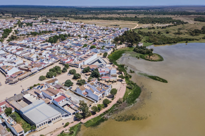
Cover image: #eLTERinSites Doñana Long-Term Socio-ecological Research Platform - Spain
Transdisciplinary Research Approaches for Socio-Ecological Transformations 
- Keywords: biodiversity loss, civil society engagement, collaboration, community-based approaches, and co-production
- Conveners: Nina Hobbhahn, Daniel Orenstein, Anne Turbe and Michael Mirtl
In the face of urgent global challenges such as climate change, biodiversity loss, and widespread social inequities, it is clear that traditional research methods must evolve to meet the complexities of our time. This session will explore the vital role of transdisciplinary research in fostering societal and ecological transformations. By engaging multiple forms of knowledge across both academic and non-academic communities, transdisciplinary approaches hold great potential to catalyze sustainable change. Through this session, we aim to bridge the gap between research and policy by fostering open dialogue among scientists, policymakers, and stakeholders. We welcome contributions that showcase the integration of diverse knowledge systems—ranging from local to global scales—and practical examples of co-production and collaboration. Key themes will include the opportunities and challenges in transdisciplinary research, such as engaging civil society, ensuring meaningful societal impact, and leveraging limited resources for sustainable outcomes. The session also seeks to showcase innovative methods, such as living labs, action research, and community-based approaches, to understand how they contribute to transformative change. Join us in this timely and essential discussion on how transdisciplinary research can lead to actionable transformations for resilient and sustainable futures.
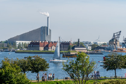
Cover image: #eLTERinSites Copenhagen, Denmark (closest LTER site Vestskoven - Denmark)
Advancing long-term ecological observations: integrating novel technologies for whole-system insights 
- Keywords: biodiversity, data, monitoring, technology, AI, in situ sensing systems, standardized communication system
- Conveners: Laurent Longuevergne, Charlie Outhwaite, Mary-Lou Tercier-Waeber, and Nigel Yoccoz.
Reported biodiversity declines worldwide and renewed attention to halting these declines have prompted a strong demand for standardized, taxonomically rich and spatio-temporally fine-grained biodiversity monitoring data. Such data has been challenging to collect in a cost-effective manner. The emergence of novel technologies such as those translating species occurrences detected in image, sound, radar and DNA data hold potential to close some of the apparent data gaps. This session invites presentations advancing our understanding of such novel biodiversity monitoring methods, their strengths, weaknesses and opportunities for integration with existing long-term monitoring programs. We welcome contributions across taxonomic groups from pilot projects to large-scale implementation.
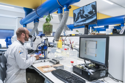
Cover image: #eLTERinSites LTSER Dutch Wadden Sea Area - Netherlands
Integrated monitoring of long-term changes in vegetation 
- Keywords: vegetation change, long-term, plant-soil interactions, plant-climate interaction
- Conveners: Stefan Dullinger, Pieter De Frenne, and Thomas Dirnböck
Description: Global changes are causing major perturbations in vegetation worldwide, with significant impacts on biodiversity and the biogeochemistry of ecosystems. Climate warming is shifting species poleward and upward, droughts cause changes in plant functional type spectra, nitrogen deposition is posing a threat to rare specialist plants, and agricultural management is favouring high-productive species at the expense of diversity. In many parts of the world, these changes occur upon a pattern of historic land uses, additionally affecting change trajectories. These complexities necessitate an integrated approach that considers the full range of drivers, long-term data, and scenario techniques within the context of ecosystem research. In this session, we will present single-site and cross-site studies, both experimental and observational, that exemplify the insights gained by combining time series of drivers (land use, soil, microclimate) with those documenting changes to plants and plant communities.
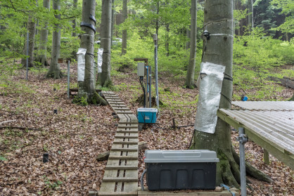
Cover image: #eLTERinSites Lehrforst Rosalia - Austria
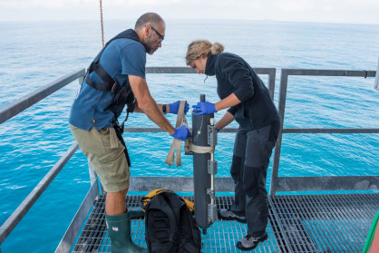
Integrating Knowledge for Mediterranean Ecosystem Restoration: Challenges and Collaborative Solutions from a Socio-Ecological Perspective 
- Keywords: ecological restoration, semiarid ecosystems, climate change adaptation, Long-Term Ecological Research, knowledge exchange, interdisciplinary collaboration
- Conveners: Alice Nunes, Bruna Reis, and Margarida Santos-Reis
The Mediterranean Ecosystems, a global biodiversity hotspot, faces significant challenges in ecosystem conservation and restoration. This session will explore the multifaceted threats to these ecosystems, including climate change, land-use changes, invasive species, and air pollution. Our main aim is to assess the current ecological state of Mediterranean ecosystems, identify the primary conservation challenges, and discuss potential solutions for restoring these semi-arid ecosystems. By bringing together experts in long-term ecological research from different countries in the Mediterranean region we will share case studies, identify effective strategies and innovative approaches to mitigate these threats, promote interdisciplinary collaboration and knowledge exchange among researchers, and discuss actionable recommendations for future conservation and restoration efforts in the region. Key topics will include habitat restoration techniques, biodiversity conservation, enhancing the provision of ecosystem services, and the role of community engagement in sustaining these ecosystems. This session promises to be an opportunity to exchange latest research findings, share both successful and unsuccessful restoration experiences while identifying the factors that contributed to these outcomes, and foster collaborations aiming at enhancing the resilience and sustainability of Mediterranean ecosystems.
Cover image: #eLTERinSites Golfo di Venezia - Italy
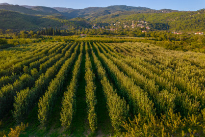
Nature based Solutions (incl. Carbon Farming): implementation, monitoring and modelling 
- Keywords: carbon farming, carbon removal, MRV, carbon sequestration, biodiversity, modelling, monitoring, NbS
- Conveners: Paulina Rajewicz, Hannes Mollenhauer, Natalie Marie Gulsrud, Vassilios Pisinaras, Daniel Orenstein
Nature-based solutions (NbS) offer potentially viable strategies to address trans-sectoral Water-Energy-Food-Ecosystem (WEFE) NEXUS challenges while strengthening resilience against climate crises across urban and rural landscapes. One example of NbS gaining widespread interest is Carbon Removal and Farming (CRCF). CRCF might include e.g., cover cropping, conservation tillage, and agroforestry, in order to sequester CO2 and deposit it in vegetation and soil reservoirs. The recent European Parliament and EU Council CRCF Regulation sets quality criteria for certifying carbon removals in agroecosystems and highlights the need for a robust Monitoring, Reporting, and Verification (MRV) system. However, despite numerous successful NbS implementations globally, in both urban and agricultural systems, key gaps remain: lack of long-term monitoring, insufficient comparative studies of green, grey, and hybrid solutions, inadequate assessment of social and equity impacts, and inadequate understanding of the NbS acting mechanisms and assessing the impact through their implementation. These gaps hinder broader acceptance and adoption by decision-makers and society. In this session, we will address these gaps in NbS knowledge and implementation, focusing mainly on monitoring needs (including monitoring of mandatory co-benefits, as defined by CRCF). We will also highlight the role of various projects in catalysing the broader uptake of NbS. We aim to leverage systematic monitoring to highlight desirable NbS impacts, develop compelling narratives for stakeholders, and facilitate broader acceptance and adoption of these solutions. Finally, we will explore how current research infrastructures (RI) including, but not limited to, eLTER and its Sites and Platforms, can support the deployment of an EU-wide MRV system mandated by EU legislation.
Cover image: #eLTERinSites Pinios Hydrologic Observatory - Greece
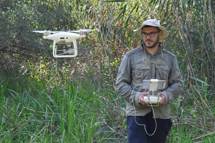
Drone opportunities for monitoring the Critical Zone: variables, synergies, validation and protocols 
- Keywords: remote sensing, UAV, land-atmosphere interaction, point clouds, field observations, field measurements, quality control, validation + multisensors, biodiversity, protocols, acquisition
- Conveners: Rajiv Sinha, Bodo Bookhagen, Harjinder Sembhi, Thomas Houet, Aurélie Davranche
Earth-observation instruments are essential to monitor and understand fine-scale biogeochemical, ecological or anthropogenic processes affecting the Critical Zone. Unmanned aerial vehicles (UAV), thanks to their high flexibility and payload diversity ranging from optical to microwave wavelength, offer an unprecedented way to gather high resolution data in time and space. UAVs also offer great synergies with satellite-based data, thus allowing for data comparison, multiscale explanation, model calibration and data fusion. Scientists have not yet explored the full potential of drones for monitoring parameters such as land surface temperature, soil moisture, water extent and level fluctuations, crop water status, river health, forest cover and atmospheric properties in a consistent manner. Indeed, identifying essential variables for various ecosystems, quality control of UAV missions and alignment with other data, and related protocols improving data quality can be a challenging task for the Critical Zone community. This session calls for communications highlighting innovative UAV-based experiments using drones, in combination with satellites or without, to spatially and explicitly map and monitor the Critical Zone processes in diverse ecosystems across the planet. The main focus will be on materials / in situ survey requirements and data calibration / validation to design generic standardised protocols rather than on data (post-)processing. Two main deliverables are expected from this session: producing a special issue in an international journal and building a network of keynodes UAV platforms across Europe in line with the eLTER program.
Cover image: #eLTERinSites Braila Islands - Romania
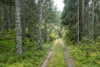
Long-term ecosystem observations and manipulations to understand the effects of global change on forest ecosystems 
- Keywords: policy, sustainability transitions, transdisciplinarity, LTSER + Science for policy, science-based policy, informed policies
- Conveners: Rossella Guerrieri, Yann Salmon, Mariangela Fotelli, Ansgar Kahmen, Klaudia Ziemblinska, and Marcus Schaub
The ability of forests to continue mitigating climate change depends on how well they cope with and adapt to global change drivers, such as more frequent climate extreme events (e.g., droughts and heatwaves) and concomitant changes in atmospheric CO2 and reactive nitrogen and sulphur deposition. Ecosystem-scale investigations over the past decades have significantly advanced the understanding of forest responses to individual global change drivers. However, critical mechanisms at the cellular, tissue, organism, and ecosystem level are still insufficiently understood to predict the long-term effects of global change drivers and their interaction on ecosystem-scale processes that go beyond a single disturbance event. In the proposed session, we aim at bringing together research communities working on assessing climate extremes and atmospheric deposition impacts on European forests by using observation under ambient conditions or long-term ecosystem-level manipulation experiments. We seek contributions linking processes at different scales (e.g., ground-based observations on trees and soil and their interactions, and how they relate to remotely-sensed regional/continental assessments) and integrating observations with modelling. Moreover, we encourage contributions providing examples of interactions between eLTER and other monitoring networks (e.g., ICP Forests and ICOS) in integrating information at different scales to gain a holistic understanding of ecosystem functions. Lastly, we welcome contributions from researchers that perform long-term terrestrial ecosystem manipulation experiments with researchers that exploit long-term landscape-level datasets such as inventories or remote sensing products and terrestrial ecosystem modellers with the goal to improve the understanding of sustained long-term responses of ecosystems to global change factors.
Cover image: #eLTERinSites Birkenes site cluster - Norway
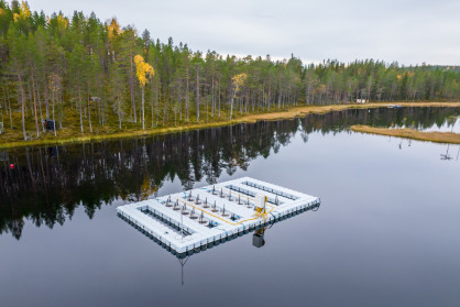
Water bodies as integrators of Critical Zone processes 
- Keywords: catchments, stream chemistry, critical zone, freshwater ecology, hydrology, headwaters
- Conveners: Paolo Benettin, Magdalena Bieroza, Heye Bogena, Roland Bol, Julien Bouchez, Pauline Buysse, Ophelie Fovet, and Didier Voisin.
Understanding the complex interactions between terrestrial and aquatic ecosystems is crucial for restoring resilient freshwater systems, managing water quality pressures, and quantifying biogeochemical fluxes at landscape scales. This session explores the dynamic exchanges of water, nutrients, carbon, and pollutants across the land-water continuum, with a focus on methodological advancements in monitoring, experimental studies, and modeling approaches. We invite contributions that examine the ecological and biogeochemical processes governing water quality and nutrient cycling across different spatial and temporal scales. Topics include:the effects of land-water heterogeneity on water quality, stream ecology, and ecosystem services, particularly under climate-induced pressures such as extreme events, the integration of terrestrial and aquatic carbon and nitrogen fluxes to quantify land-atmosphere exchanges, including both dissolved and atmospheric forms, and hydrochemical processes within the Critical Zone, including water-rock interactions, nutrient release, and their influence on catchment-scale water chemistry. Studies incorporating multi-pollutant analyses, linking biophysical and ecological observations, or highlighting process variability across climate and soil gradients are especially welcome. We also encourage submissions presenting new tools—both experimental and modeling—that improve our ability to monitor and predict water and biogeochemical dynamics at large scales.By bringing together diverse perspectives, this session aims to foster interdisciplinary insights into the interconnected processes shaping freshwater ecosystems and their resilience in the face of environmental change.
Cover image: #eLTERinSites Svartberget Research Station - Sweden
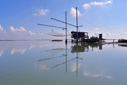
Understanding dynamics of aquatic systems along the freshwater marine continuum 
- Keywords: freshwater, transitional, coastal ecosystems, novel high-throughput approaches
- Conveners: Caterina Bergami, Daniela Cianelli, Domenico D'Alelio, Robert Ptacnik, and Jens Nejstgaard
The dynamics of aquatic ecosystems are complex and influenced by a multitude of factors, both natural and anthropogenic. Understanding these dynamics and the drivers of change requires comprehensive and long-term data collection. This session will focus on using long-term time series of biotic and abiotic parameters to enhance our knowledge of these ecosystems and their evolving conditions. Contributions to a range of tools, methods, and observation systems employed in the collection and analysis of long-term data will be welcome. Topics include the deployment and maintenance of in situ observation systems, advancements in remote sensing technologies, early warning systems, and the integration of diverse data sources and data collection approaches, including citizen science. We especially encourage contributions comparing classical approaches such as microscopy with more recent and developing approaches such as eDNA and high-throughput AI-supported imaging. Case studies demonstrating the application of statistical and computational models to interpret time series data, revealing trends, cycles, and abrupt shifts in ecosystem states are also welcome. Additionally, the role of long-term monitoring in informing management and conservation strategies, highlighting the importance of sustained observational efforts in detecting and responding to environmental changes could be also considered as additional issues for this session.
Cover image: #eLTERinSites Lagoon of Venice - Italy
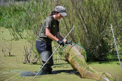
Recent advances and technical solutions for wetland restoration 
- Keywords: wetland, restoration, carbon dynamics, methane, biodiversity
- Conveners: Elina Oksanen and Mara Menella
In this session recent advances in wetland restoration will be presented. Wetland ecosystems have been deteriorating across Europe for centuries, e.g. due to large-scale drainage for agriculture and forestry, mining, peat production and other materials. Wetlands, especially mires, capture large amounts of carbon, and disturbances may lead to high greenhouse gas emissions. Global warming and changes in rainfall also lead to drying of wetlands, which increases greenhouse gas emissions and natural disasters. The conservation and restoration of wetlands is essential for achieving the climate and environmental objectives set at by the EU, and globally. A better understanding of wetland carbon dynamics is essential for effective mitigation of climate change, as is the development of measures that support conservation and restoration in different environments. The session includes presentations from ongoing EU/Horizon REWET project, where the best restoration strategies to maximise carbon storage capacity and reduce GHG emission of wetlands are being analysed and identified through seven Open Labs across Europe. The activities from several Open Labs will be presented, representing different geographical areas of Europe and types of wetlands.
Cover image: #eLTERinSites Doñana Long-Term Socio-ecological Research Platform - Spain
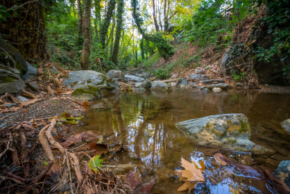
Unravelling the mysterious role of groundwater in Ecosystem Dynamics 
- Keywords: critical zone; groundwater surface water interactions; hydrogeology; modelling;
- Conveners: Agnès Rivière, Konstantina Katsanou, and Jean Marçais
Groundwater's strategic importance for ecosystems (biodiversity, and societies) is gaining prominence. Groundwaters play a critical role in natural cycles, redistributing water, energy and matter in the subsurface and sustaining surface water bodies and ensuring related biodiversity. Overall groundwater is key for continental areas, by providing essential ecosystem services hence ensuring water, energy, and food security. Groundwater dynamics significantly impact ecosystems. Non-stationarity of groundwater systems dynamics under global changes put these ecosystems at threat. Therefore, it is key to characterise ecosystem-groundwater interrelationships by studying the quantitative and qualitative impacts of ecosystems on groundwater resources through a wide range of tools, such as characterising transit and residence times of water and elements in groundwater systems, as well as the vegetation-atmosphere-unsaturated zone interactions with aquifers, which enable quantification of aquifer recharge and stream-aquifer exchanges. Hydrogeological models are pivotal tools to characterise and anticipate potential change of these relationships between ecosystems and groundwater. However, due to extreme heterogeneity of environmental processes and parameters, and our inability to fully characterise this heterogeneity, all hydrogeological models need to be calibrated against relevant geological, geophysical, hydrogeochemical and hydrological data to improve robustness of predictions and reduce model uncertainty. Critical Zone Observatories provide long-term, spatially detailed information on groundwater resources, enabling in-depth studies that consider the interplay of territorial changes together with climate change. These observatories therefore provide opportunities to identify key processes driving changes at local or regional scales. Installed in heterogeneous environments, observatories consider different aquifer types at different geographical areas and reflect the interplay between land uses, climate zones, and human pressures on the dynamics of groundwater resources in ecosystems changing. This session seeks to highlight innovative approaches that integrate field data with advanced modelling techniques to deepen the understanding of complex hydrological, hydrogeological, and ecohydrological systems under the impact of global change.
Cover image: #eLTERinSites Pinios Hydrologic Observatory - Greece
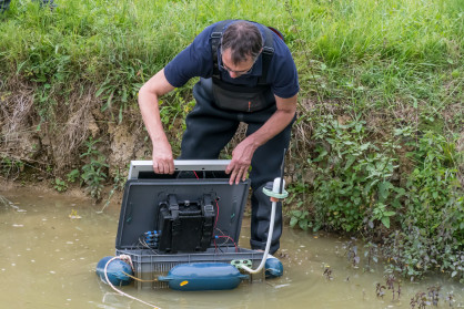
Critical Interfaces in the Critical Zone, from instrumental to modeling approaches 
- Keywords: critical zone, geophysics, models, continuum ground water, soil, plant
- Conveners: Steffen Zacharias, Jérôme Gaillardet, Majken Looms, Damien Jougnot, Ulrike Werban
Critical Zone (CZ) research in the geosciences focuses on understanding the complex, interdependent processes that occur from the top of the vegetation canopy to the bottom of the aquifer. This session focuses on the critical interfaces within the CZ where biological, chemical and physical processes converge and interact. These interfaces, including the soil-vegetation-atmosphere interface, the weathered bedrock-soil interface and the water table, are crucial in regulating nutrient cycling, water filtration and ecosystem dynamics. By studying these zones of interaction, researchers aim to elucidate how natural and anthropogenic changes affect ecosystem services. This session would like to reflect the diversity of observational methods and modelling approaches that are being developed by researchers. In particular, we will appreciate studies on the use of (geo)physical methods that have the potential to unveil the invisible properties and processes within the CZ in a non-invasive manner and that have now reached unprecedented high spatial and temporal resolution. The session is also meant to focus on the interplay between these physical or chemical measurements and improved model conceptualization and parametrization at all spatial and temporal scales.
Cover image: #eLTERinSites OZCAR-RI Aurade Catchment - France
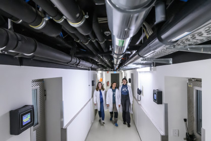
Innovative methods for integrating and exploring heterogeneous environmental data 
- Keywords: data management, FAIR principles, machine learning, data analysis
- Conveners: Isabelle Braud, Jan Bumberger, and Martin Abbrent
The implementation of the Whole System Approach and of critical zone science relies on the use of multidisciplinary data coming from heterogeneous sources, including sensor data but also sample-based data, biodiversity data, remote sensing data, and model data, that are now provided at unprecedented high resolution and frequency. This diverse array of data is crucial for advancing our understanding and modelling of the Earth System, enabling the development of predictive models for the Earth's evolution. The data collected from various observatories and their management systems are often highly heterogeneous. Effective utilisation of these data requires significant efforts in employing data science methods, adapting new algorithms, developing data pipelines tailored to specific needs, and creating interoperability between heterogeneous systems to support multidisciplinary research. The development of methods for the automatic real-time processing and integration of observation data into models is essential for many applications. There is a need for automated quality assessment and control pipelines, tools for data discovery and exploration, standardised interfaces and vocabularies, data exchange strategies and security concepts. These elements are critical for interconnecting distributed data infrastructures following FAIR and open science principles. This session welcomes submissions dealing with novel techniques for data management, processing, analysis and sharing.
Cover image: #eLTERinSites National Park Schleswig-Holstein Wadden Sea - Germany
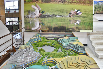
Combining observational data with modelling approaches for ecosystems 
- Keywords: ecosystem modelling, AI-based model-data fusion, data assimilation, calibration
- Conveners: Alexandre Belleflamme, Christian Poppe Terán, and Harrie-Jan Hendricks-Franssen
Climate and global change increase the pressure on ecosystems, their functions, and services. Accurate data products of critical environmental variables at high spatial and temporal resolution offer a basis for decision making. This supports management practices that increase the resilience of ecosystems against droughts and heatwaves, wildfires, biodiversity loss, soil degradation, and others. Such data products can for example be produced by combining observational data (both in-situ and remote sensing) with simulation models. In this context, we welcome methodological studies and applications on producing these types of data products. A wide range of methods is of interest, like AI-based model-data fusion, data assimilation, inverse modelling, purely statistical methods or purely simulation based approaches. We are also interested in studies using site specific data for model parameterization, calibration, and validation, to address model uncertainties. Studies at all spatial scales (sites, catchments, continental, global scale) are welcome. Case studies may focus on ecosystem biodiversity, carbon and water cycles, and their interfaces with society, their response to (extreme) events, or long-term changes. This session will showcase the advantages and challenges of combining observational data with modelling approaches, highlighting their potential to inform policy decisions and support ecological resilience to adapt to environmental changes.
Cover image: #eLTERinSites Srebarna - Bulgaria
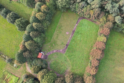
The scientific and societal benefits of creating digital twins of an eLTER-site 
- Keywords: digital twin, ecological modelling, FAIR data
- Conveners: Marcel Visser and Geerten Hengeveld
Creating digital twins of parts of ecosystems is being explored on several occasions (BioDT, Edito, Local projects). These digital twins are created both to support operational practices, to inform policy and to strengthen scientific understanding. The practice of digital twinning often combines ecological modelling, machine learning or AI and direct linkage to data to create a near-real time or nowcasted representation of an ecological system. Creating a digital twin requires that (long term) data and models are available and FAIRly shared. In this session we will showcase several digital twins that are created for ecosystems and highlight how the practice of digital twinning has contributed to the purpose of the research. We especially would like to focus on the added value of long-term ecological research data, as are available at LTER-sites, in creating digital twins.
Cover image: #eLTERinSites Brasschaat - De Inslag - Belgium
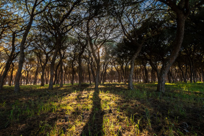
Ecological Forecasting for integrated science: Advances and applications 
- Keywords: forecasting, model, data, assimilation, uncertainty, informatics, network science, decision making
- Conveners: Istem Fer, Billur Bektas, and Angelika Kübert
Robust prediction of the effects of global change on ecosystems supports the design of effective strategies to secure and improve the ongoing provision of ecosystem services. A powerful framework to advance theory and to support natural resource management and biodiversity conservation strategies is iterative near-term (subdaily to decadal) ecological forecasting. Ecological forecasting describes the process of predicting, across different spatial and temporal scales, the state of ecological entities and processes under scenarios of climate, land use and socio-economic change while addressing multiple sources of uncertainty and variability. The iterative cycle of creating forecasts, evaluating them with new observations, updating the models, and then making new forecasts has the potential to accelerate learning across many ecological subdisciplines. This cycle builds on openly available data and can systematically combine multiple sources of information which is increasingly common in ecological observatory networks, such as the eLTER.In this session, we aim to highlight recent advances in ecological forecasting theory and applications enhancing the decision-relevance of such predictions. The session will be chaired by members of the European Ecological Forecasting Initiative, a grass-roots community of researchers, practitioners and policy makers developing ecological forecasts to inform decision making to mitigate the impacts of global change.
Cover image: #eLTERinSites Doñana Long-Term Socio-ecological Research Platform - Spain
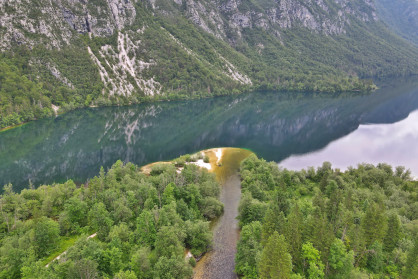
Harnessing Data Science for Environmental Resilience: Bridging the Gap Between Big Data and Local Monitoring for Policy 
- Keywords: standard observations, essential variables, big data, data interoperability, semantic web, AI, modelling, digital twins, cross-disciplinary approach
- Conveners: Hanna Koivula and Allan Souza
Data science focuses on extracting meaningful insights from complex datasets, making it increasingly vital in environmental sciences due to the interconnectedness and cross-disciplinary nature of this field. While there is an abundance of data available online, it must be complemented by systematically collected, quality-assured and FAIR monitoring data that provide a structured framework for data collection and representation, enhancing the quality, reliability, and comparability of environmental data that are essential for monitoring environmental changes, or evaluating policy effectiveness. Furthermore, advancements in data science, including knowledge graphs, (semi-)automated mappings and workflows, statistical techniques, machine learning, and citizen science, enhance the ability to process and interpret vast datasets from diverse sources. As the field evolves, the collaboration between data science and environmental research will be crucial in addressing challenges related to climate change and biodiversity loss. This session will review lessons learned and challenges identified in , but also look at the opportunities that can be exploited through collaboration between data science and environmental research (WAILS approach). Catalysing cross-disciplinary collaboration in producing FAIR born data and using advanced analysis and modelling methods such as digital twins, is crucial to addressing the urgent challenges of climate change and biodiversity loss.
Cover image: #eLTERinSites Lake Bohinj - Slovenia
All cover images for the sessions and workshops are selected from the #eLTERinSites photo collection. The photos have been captured at/in proximity to various European LTER sites by photographer Evgeni Dimitrov during an expedition known as the eLTER Grand Campaign.
Workshops
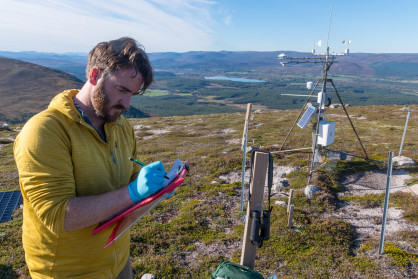
Document your data (W1) 
- Keywords: metadata, data standardisation, data format, ontologies, semantic web
- Conveners: Tanja Lindholm, Allan T. Souza, Paulina Rajewicz and Theresa Lumpi
Target Audience: Members of SPF community
This hands-on workshop (3-4h), which is primarily targeted at members of the Sites & Platforms Forum (SPF) community, aims to tackle the common challenge of properly documenting data, much of which is often inadequately documented and thus rendered unusable. Proper documentation is crucial for understanding data quality and usability. The workshop will guide participants through the essentials of data documentation, covering the what, where, when, and how. Attendees are encouraged to bring their own data, which they will document with guidance from the facilitators. The session will introduce various documentation tools and techniques, such as readme files, metadata, and spreadsheets, and will provide practical tasks to accomplish during the workshop. Participants will work in small groups to share ideas and practices, aiming to produce practical outcomes such as a draft documentation plan for their data. The workshop is targeted at people working with scientific data who need assistance with data documentation, ensuring their data meets FAIR principles.
Cover image: #eLTERinSites Cairngorms National Park LTSER - United Kingdom
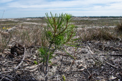
Nature restoration at eLTER sites to strengthen policy (W2) 
- Keywords: ecological restoration, added value of site co-location, restorative interventions, outreach to other initiatives, Nature Restoration Law, Science-policy interface
- Conveners: Katalin Török, Peter Haase, and Bruna Paolinelli Reis
Target Audience: The target audience may come from sites doing restoration and others who are interested in providing evidence to the EU Nature Restoration Law and want to be more organised to support restoration decisions, plus being more active in the science-policy interface
The aim of thisworkshop is to discuss opportunities for translating restoration research results to policy guidance such as the EU Nature Restoration Law. As there are many ecosystem restoration projects implemented at eLTER sites across Europe, eLTER aims to include restoration in its Research Infrastructure development process. The workshop aims to link knowledge gained within eLTER with knowledge from other initiatives, like the BiodivRestore Knowledge Hub, the Society for Ecological Restoration Europe (SERE) or BioAgora project. Jointdiscussions will enable collation of existingknowledge, synthesising information intoan attractive and efficient knowledge-sharing system, and identifying opportunities and pathways for providing actionable knowledge to policy makers working in restoration-relevant areas. This may cover guidance on suitable and effective restoration methods and approaches for different ecosystems, barriers to restoration, stakeholder involvement, provision of metadata, and others. A framework for networking and collaboration with the aforementioned initiatives will also be discussed. The workshop will establish linkages between eLTER and other restoration initiatives and contribute to a potential eLTER Research Infrastructure service.
Cover image: #eLTERinSites LTSER Ria de Aveiro - Portugal
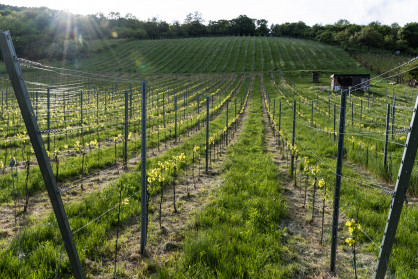
Co-designing future services and next steps in carbon farming (W3) 
- Keywords: carbon farming, soil health, soil carbon, regenerative farming, future services
- Conveners: Elisa Vainio, Mariana Salgado, and Werner Kutsch
Target audience: Researchers, policy experts, other stakeholders
This workshop brings the participants together to co-design future services and practices by reviewing existing knowledge on carbon farming. As a background and introduction, we will shortly dive into the obstacles and best practices encountered so far, with a primary focus on the Carbon Action pilot in Finland.
Organised by BSAG (Baltic Sea Action Group) and ICOS ERIC (Integrated Carbon Observation System), the workshop aims to identify:
- How could the long-term observations better serve the needs in Carbon Farming Certification Framework (CRCF)? How can the RIs better collaborate with the actors in the private sector (eager to use the best available research)?
- How can we further develop our observations, so they are useful for the CRCF?
Where are the observations that could better inform this framework?
Cover image: #eLTERinSites Trnava LTSER - Slovakia

Integrating socio-ecological ecoacoustic indicators into the eLTER SO framework (W4) 
- Keywords: soundscape ecology; ecoacoustics; passive acoustic monitoring; socio-ecological
- Conveners: Jonathan Carruthers-Jones, Jan Dick, and Luc Barbaro
Target audience: stakeholders; site and platform coordinators; non-academic users; researchers
Passive acoustic monitoring (PAM) is a cost-effective, scalable method for long-term environmental monitoring. Yet to date eLTER has only embraced acoustic monitoring protocols for the standard observations (SO) related to birds/bats/amphibian/insects (SOBIO_18). We argue that sociological indicators built on the framework of ecoacoustics and linked to the concept of the soundscape, are critical to any set of SO’s seeking to pursue a ‘holistic understanding of complex interactions between living organisms, humans, and their physical environment’. Ecoacoustic indices for example can be reliable predictors of human perceptions of calm and pleasant natural sound environments, and bird sound diversity can significantly improve human well-being. Here, we propose a multidisciplinary workshop that aims to explore how acoustic indicators of relevance to the sociological dimensions of landscape dynamics could be integrated into proposed ecological acoustic indicators (SOBIO_18), the wider eLTER framework of standard observations (SOs) and other environmental monitoring programs. The workshop will deliver a set of sociologically relevant soundscape indicators that can form the basis of a future eLTER SO bundle and will offer participants the opportunity to contribute to a peer reviewed paper detailing stakeholders (site managers and decision makers) views on the feasibility of monitoring and value such a SO bundle. For more information, visit our blog and archive.
Cover image: #eLTERinSites Cairngorms National Park LTSER - United Kingdom
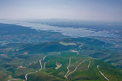
Designing an International Critical Zone Network of Networks (W5) 
- Keywords: critical zone, international collaboration
- Conveners: Jeff Munroe, Bhavna Arora and Beth Boyer
Target audience: Anyone interested in shaping future international collaborations in Critical Zone science
Please join us for a workshop on "Designing an International Critical Zone Network of Networks." Participants will engage in a series of guided discussions centred on how to build an effective “network of networks” for Critical Zone (CZ) science. The first conversation will consider the significance of observatory design, and strategies for long-term monitoring and core data collection toward advancing understanding of CZ processes, addressing ecological challenges, and guiding sustainable management practices. A second conversation will consider approaches and cyber infrastructure for effective data sharing across sites and scales, with the goal of enabling further interdisciplinary cross-site understanding and synthesis. Finally, participants will think creatively about how to facilitate meaningful collaboration across the landscape of existing observatories and networks (such as LTER, CZ, and more). Through sharing of lessons learned from past experience, and cataloging of collective goals for the future, workshop participants will contribute to the creation of a foundation of ideas for use in guiding how existing CZ research entities could be integrated to form a cohesive international scientific community.
Cover image: #eLTERinSites Pinios Hydrologic Observatory - Greece
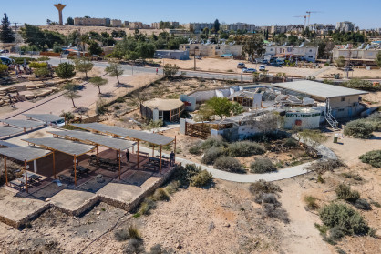
Implementing Long Term Social Ecological Research (LTSER) for a good Anthropocene (W6) 
- Keywords: LTSER, sustainability transitions, transdisciplinarity
- Conveners: Jennifer Holzer, Veronika Gaube, and Daniel Orenstein
Social Ecology (SE) is a transdisciplinary field designed to address sustainability challenges through long-term research spanning local to regional scales. By harmonising a network of research platforms, the International Long-term Ecological Research (ILTER) Network seeks to enable upscaling of SE research to continental and global scales. With three decades of experience implementing SE research within the ILTER Network, we have accumulated substantial insights regarding the capacity of SE research to affect societal change. In this session, we will share experiences from both well-established and emerging LTSER platforms, assessing research objectives and methodologies within the framework proposed by Haberl et al (2006) for the transition of LTER to LTSER, and as examples of Bennett et al.’s (2016) “Seeds of a good Anthropocene” or Abson et al.’s (2017) “transformational sustainability interventions.” We will address two questions: How has LTSER contributed towards enabling just sustainability transitions at different spatial scales from the local to the global and how is this measured? What have been the challenges in implementing viable and effective LTSER platforms?
Cover image: #eLTERinSites Park Shaked (PSK), LTSER Northern Negev - Israel
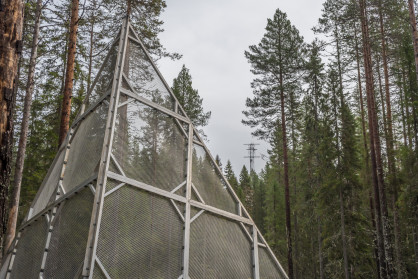
Kin-spheres (W9) 
- Keywords: embodiment, experiential knowledge
- Conveners: Terhi Rasilo, Gesa Piper, Saara Hannula, Kaisa Kukkonen and Iiris Raipala
Our workshop takes the form of a durational performance installation. It approaches the thematics of the eLTER conference from an artistic and embodied point of view and offers the conference participants a possibility to explore them experientially. The main purpose of the installation is to inquire into the emergent connections and intra-actions between different living organisms and environmental factors and to weave connections between scientific and embodied knowledge through bodily movement, sensing and relating. At the same time, it contributes to the emergence of a temporary community among the human and nonhuman bodies that are present in space. The installation is organised and performed by an interdisciplinary working group that consists of five ecologically and somatically oriented artists, educators and researchers. The performance installation is open to all the participants of the conference. They can either witness it from a distance, move through the space or participate in some of the practices together with the performers. The performers will provide the participants with clear instructions in order to make the participation as accessible and easy as possible. The duration of the performance installation is approximately 2–3 hours but will be adjusted to the schedule of the conference.
Cover image: #eLTERinSites Svartberget Research Station - Sweden
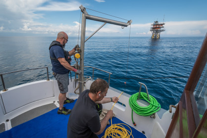
CoCoCo: Co-thinking and Co-realising Co-location (W7) 
- Keywords: colocation, eLTER, ICOS
- Conveners: Giorgio Matteucci and Dario Papale
Target audience: Sites and Platforms Coordinators, people involved in providing services to sites and infrastructures, persons working on different infrastructures, Network coordinators
Co-location of sites (and services) among different infrastructures can provide efficacy, efficiency and enlargement of the investigated observations and processes. The workshop will discuss the advantages and possible limitations/constraints of co-locating sites between RIs among Sites and Platforms Coordinators, people involved in providing services to sites and infrastructures, persons working on different infrastructures, and network coordinators.
Cover image: #eLTERinSites Golfo di Venezia - Italy
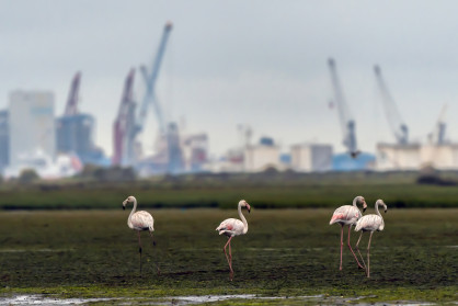
Good Practices for Work-Life Balance in an Academic Workplace (W8) 
- Keywords: equity, gender equality, work-life balance
- Conveners: Paulina Rajewicz and Katarina Sladakovic
Target audience: This workshop is designed for researchers, educators, policymakers, and organisational leaders interested in promoting diversity, equity, and inclusion in scientific workplaces. We welcome individuals from various academic disciplines and career stages, as well as stakeholders involved in organisational management and policy development. The workshop is particularly relevant for parents and those who work with parents in the scientific environment.
The workshop aims to explore strategies for creating inclusive scientific workplaces that prioritise work-life balance, with a particular focus on supporting parents, who often face unique challenges in balancing professional and personal responsibilities. Participants will discuss the various obstacles faced by academics, such as the competitiveness of the academic environment, work overload, and – in the case of parents – the burden of caregiving responsibilities and societal expectations. During the workshop, our aim is to explore potential solutions to address these challenges. Topics will include flexible work arrangements, parental leave policies (including a comparison of legal strategies across different European countries), childcare support, and fostering a supportive organisational culture. We will discuss both short-term organisational best practices and broader context and possible long-term strategies for institutions and organisations. Through interactive discussions, participants will gain insights into best practices for promoting work-life balance and gender equality in scientific environments. The content will be customised based on the needs and interests of registered participants. Additionally, the workshop will provide a platform for sharing experiences and networking with colleagues, fostering collaboration and support among participants. The workshop outcome will be published as an eLTER newsletter post, raising awareness of the activities of the eLTER Equality and Equity Team (eLTER-EET).
Cover image: #eLTERinSites LTSER Ria de Aveiro - Portugal
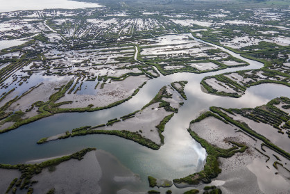
Analysing Remote Sensing Data with R (W11) 
- Keywords: R, spatial, satellite, remote sensing, soil moisture
- Conveners: Micha Silver and Arnon Karnieli
Target audience: Stakeholders and ecologists who need to implement spatial analyses, especially based on remote sensing data sources.
Introduction to the R-Spatial collection of packages for acquiring and analysing satellite imagery. Hands-on exercises will be offered to demonstrate acquiring and working with remote sensing data, with a focus on the rOPTRAM package for delineating soil moisture from Sentinel-2 imagery.
Cover image: #eLTERinSites LTSER Ria de Aveiro - Portugal
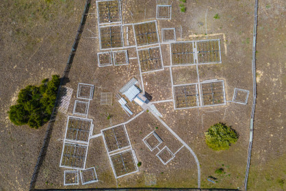
Protocols for acquiring essential eLTER variables with drones (W12) 
- Keywords: methods, field experiments, drone flights, sensors
- Conveners: Thomas Houet, Thibaut Peres, and Aurelie Davranche
Target audience: Scientists (early career researchers, technicians/engineers, seniors researchers) using drones or intending to do so to monitor their eLTER sites.
This workshop complements the conference session "Monitoring essential eLTER variables with drones (B7)" and is dedicated to highlght drones / sensors specific uses for eLTER variables characterization. Drone flights with various sensors (multispectral, thermal) can be made for soil moisture / vegetation / wetlands monitoring. This workshop aims at exhibiting and discussing acquisition protocols (flight definition, weather conditions) and data calibration/validation (sensor or drone performance). A 2 hours indoor session can accommodate 25 participants and will take place at the conference venue. Depending on weather conditions and logistic constrains, this workshop can be extended with outdoor experiments with highly motivated participants (to be set during the workshop). Motivated participants will be encouraged to contact the workshop organisers in advance to arrange necessary preparations.
The workshop is organised in two parts: PART 1 on site and PART 2 outdoors.
Cover image: #eLTERinSites LTER Fulophaza Site, KISKUN LTER - Hungary
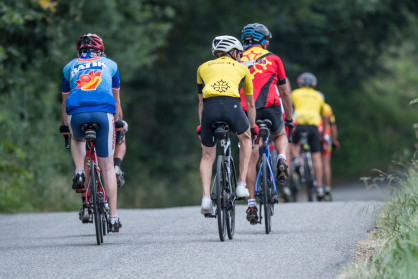
From experience sharing in transdisciplinary long-term socio-ecological research towards a template for addressing the objectives and challenges for supporting collaborative research in SES (W13) 
- Keywords: LTSER platforms, socio-ecological, transdisciplinary, collaborative, research, monitoring
- Conveners: Olivier Barreteau, Sabrina Gaba, Veronika Gaube, Sandrine Glatron, Daniel Orenstein
Target audience: academics and non-academics involved in LTSER with experience with collaborative/transdisciplinary research
LTSER platforms have been sites of transdisciplinary research for more than two decades. LTSER is justified for both theoretical and applied reasons, including the development and refinement of research design to fit the contingencies of socio-ecological systems (SES), the generation and access to data through active stakeholder involvement, the improved integration of research results into societal decision-making about their environment, and the satisfaction of stakeholder needs within SES. The actual implementation of transdisciplinary research manifests itself in many forms, from citizen science to living labs, among others, with different levels of involvement in the different steps of the research process. In this workshop we will offer several integrative activities in which participants will share their practices and experiences in implementing transdisciplinary research: involvement of non-academic partners (policy makers, businesses, civil society organisations), forms of knowledge integration, societal impact. We aim to explore their capacity to generate transformations within SES towards more robust and equitable pathways, as well as the challenges they face, such as sustaining collaboration between participants or measuring research 'success', including publications and academic promotion. Participants will not only share their experiences, but also discuss proposals to alleviate the difficulties faced in conducting transdisciplinary research on SES.
We expect the workshop to deliver a template for describing and monitoring transdisciplinary long term socio-ecological research, with an emphasis on key steps where reflexive support is welcome.
Cover image: #eLTERinSites OZCAR-RI Aurade Catchment - France
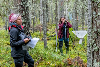
Early Career & Friends workshop (W14) 
- Keywords: early career, professional collaboration, eLTER community
- Conveners: Bastian Bertsch-Hoermann, Beñat Olascoaga, Christian Poppe Terán, Clarence Schmitt, Elena Todorova
Target audience: Early-career researchers, technicians, administrators, and other professionals in building their path within the eLTER community - the session is open to anybody who wants to engage, get in touch with peers, and exchange ideas or experiences.
Description: Are you a researcher, technician, administrator or other professional at an early-career stage, and interested in being part of or further developing yourself within the eLTER community? Join this Early-Career & Friends workshop, aimed to identify gaps and needs for you to promote professional collaborations, peer learning and career development, and thus support you as the next generation of the eLTER community. Join us to get inspired by other eLTER members and their different professional paths, and let the rest of the community know how we can help you on your path.
Cover image: #eLTERinSites Svartberget Research Station - Sweden
All cover images for the sessions and workshops are selected from the #eLTERinSites photo collection. The photos have been captured at/in proximity to various European LTER sites by photographer Evgeni Dimitrov during an expedition known as the eLTER Grand Campaign.
Have questions?
Contact us at conference@elter-ri.eu
The eLTER Science Conference is a carbon-neutral event.
