Environmental Research Infrastructures Take the Stage at INTERGEO 2025
The INTERGEO Expo and Conference 2025 in Frankfurt am Main is the world's leading trade fair for geodesy, geoinformation and land management.
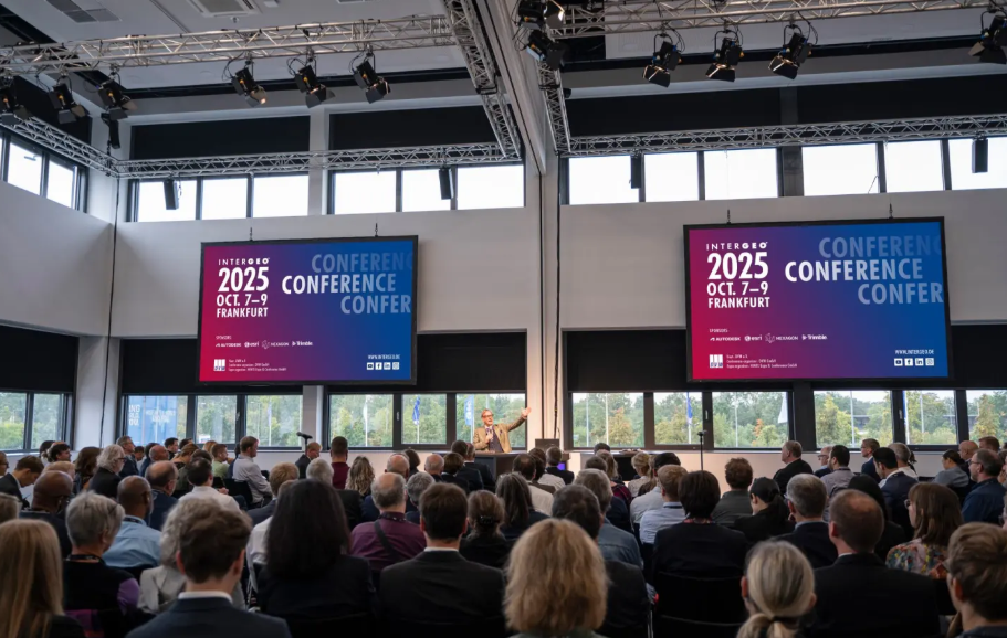
The first day of INTERGEO (October 7, 2025) saw a panel discussion at its Main Stage on how environmental Research Infrastructures are currently using geospatial data, and what opportunities there are for the geoinformation communities in these distributed RIs with over 500 measurement sites across Europe.
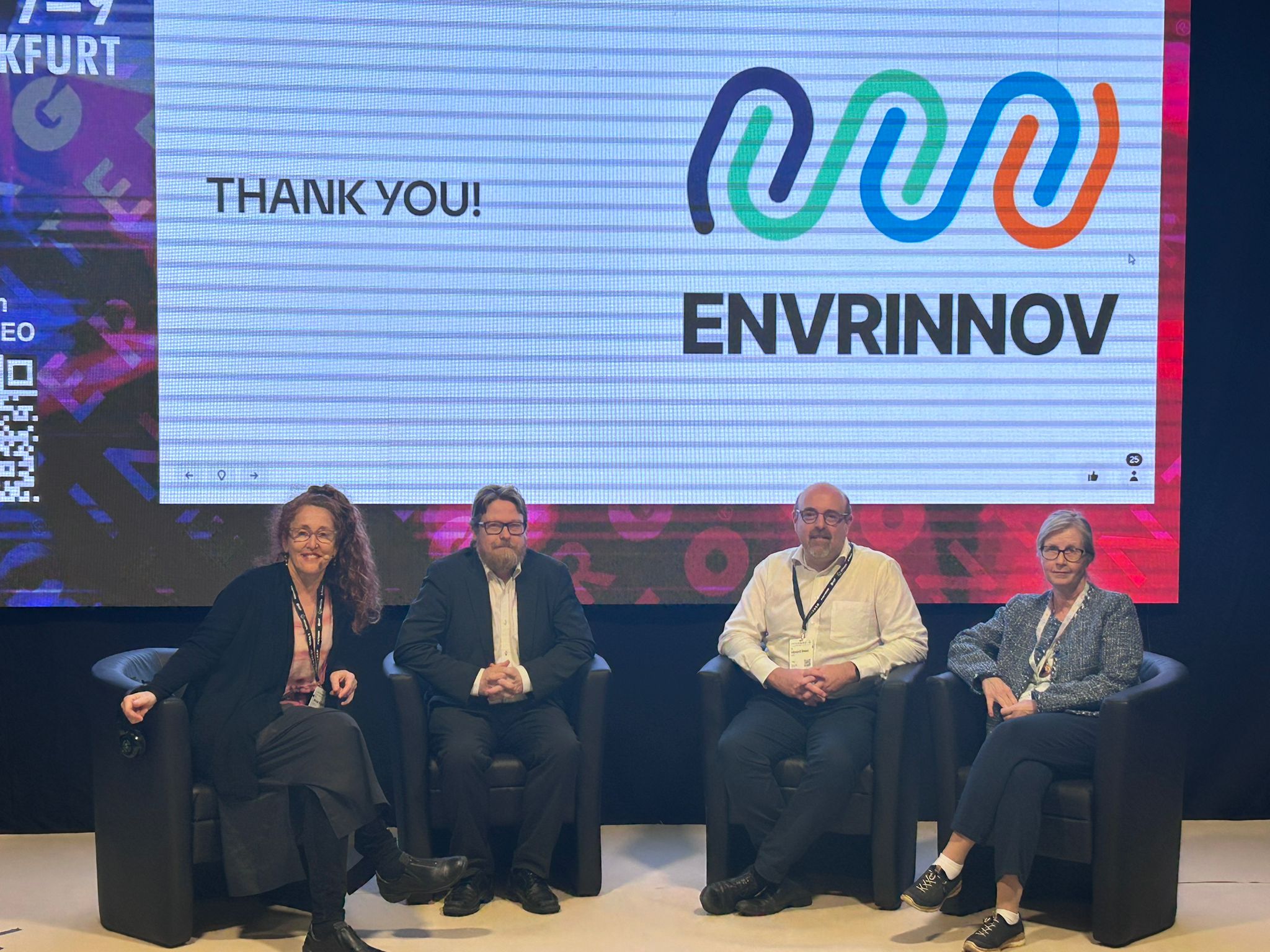
The panel was organised by the ENVRINNOV project and facilitated by Mariana Salgado from ICOS ERIC. The panellists (prof. Jaana Bäck from eLTER RI, prof. Tuukka Petäjä from ACTRIS ERIC and Dr. Leonard Rivier from ICOS ERIC) presented each briefly how the RIs are currently utilising the geospatial data for e.g. integrating the in-situ and satellite data to build an online map-based user interface for Gross Primary Productivity (eLTER), monitoring air quality in urban setting (ACTRIS), and attributing the sources of methane plumes from leaking pipelines (ICOS).
There are clear common topics that can be developed further between the RIs and the geospatial community, for example on applications for soil moisture observations at eLTER Sites. The vivid discussions between panellists and audience continued also after the session and will be further explored in the coming years.
Check out more about ENVRINNOV's panel discussion: Connecting Environmental Data & Geospatial Solutions: From Research to Action
For more news and updates, subscribe to the eLTER newsletter!